
Challenges and necessity
It is well known that weather affects significantly the safety and economic well-being of people. Therefore, there is a strong need to (a) better monitor and forecast weather, including fire weather conditions that influence the ignition and spread of wildfires, (b) expand and enhance the monitoring networks of hydro-systems, (c) continue the development of models for hydrological flows and management of water resources, and (d) assess hydrometeorological hazards (e.g. river floods, flash floods) by developing appropriate methodologies, products and services. Moreover, it is imperative to comprehensively communicate and disseminate the relevant products and services (observations and forecasts) both to the general public and public authorities, by means of an approach that allows for the timely and effective conveyance of critical information.
Deployment and operation of stations for monitoring meteorological conditions:
- A first-class meteorological station at Thissio (operating since 1900) and 2 actinometric stations at Thissio (operating since 1953) and Penteli (operating since 1998).
- Automatic weather stations network, transmitting measurements in real-time (420 stations by the end of 2019).
- VLF lightning detection network (ZEUS) comprised of 6 receiving antennas in England, Spain, Denmark, Romania, and Cyprus.
- Snow observatory in Crete, comprised of 2 prototype snow depth measurement stations in Lefka Ori and Psiloritis.
Εxpand the hydro-telemetric monitoring networks
- HYDRONET – Hydro-Telemetric Network of Surface Waters https://hydronet.noa.gr/
HYDRONET is a pilot streamflow monitoring network established and operated by the IERSD NOA within the Hydronet project (2018–2021) Hydro-Telemetric Network of Surface Waters: Gauging instruments, smart technologies, installation and operation. HYDRONET aspires to establish time series of high-quality data for water resources management and for risk assessment of hydrological extremes, as well as for water-use planning and hydraulic infrastructures design.
Monitoring the flow and quality of surface water bodies at locations of interest and transmitting data in real-time to https://openhi.net/ and providing free access to the recorded data.
Research activities
Meteorology
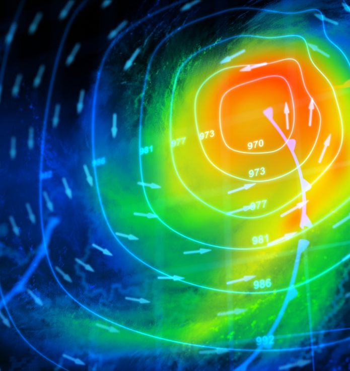
- Numerical weather prediction (operational weather forecasting, including predictions for lightning, dust transport and wave height, model validation, model output statistics, exploration of assimilation methods for the improvement of forecast skill, ensemble predictions).
- Study of the dynamical and physical properties of atmospheric weather systems in the Mediterranean with emphasis on high impact weather (flash floods, intense cyclogenesis, Mediterranean cyclones, spatial and temporal variability of precipitation).
- Study of the lightning activity, focusing on the Mediterranean. Relating lightning activity with physiographic characteristics, cloud microphysical properties and rainfall. Exploiting lightning as a nowcasting tool and using lightning data assimilation techniques in numerical weather prediction models for improving precipitation forecasts).
- Monitoring and forecasting of fire weather conditions and fire danger, through the computation of specialized fire weather indices.
- Numerical prediction of fire spread using coupled fire-atmosphere modeling (IRIS rapid response fire spread forecasting system).
- Study of fire-atmosphere interactions.
- Weather radar applications, including participation in field experiments.
- Investigation of air-sea interaction processes.
Hydrometeorology
- Flood forecasting, application of watershed models, predictions in ungauged basins and reverse flood routing, estimation of the water budget over basins based on hydrological models.
- Operation of small weather radar and provision of measurements as input to hydrological models for flash flood forecasting.
- Identification of flood high risk zones.
Hydrology
- Monitoring and observation of coastal and dams water quality.
- Turbulence modelling: development of one-point field equations model, with the proper viscoelastic character, for engineering use.
- Study of aquifer systems: seawater intrusion in coastal aquifers, flow in sloping unconfined aquifers and stream-aquifer interaction, optimal management of coastal aquifers.
- Monitoring and study of surface hydro-systems, hydrometry and development of rating curves and application of hydrological models.
Operational activities, infrastructure and services
- Installation and operation of telemetric state-of-the-art hydrometric networks and snow height meters.
- Hydrometry – surface water velocity measurements, by using both conventional methods (current meters) and new technologies (Surface Velocity Radar – SVR and Side Looking Doppler – SLD). Development of rating curves.
- Real-time hydro-telemetric data from our HYDRO-NET network are freely provided at the site https://openhi.net/ (Open Hydrosystem Information Network), which is an integrated information infrastructure for the collection, management and free dissemination of hydrological and environmental information related to the country’s surface water resources.
- Participation in experimental campaigns with an X-band mobile Doppler polarimetric radar and in-situ portable precipitation measurement equipment (disdrometers and rain gauges).
- Operational weather forecasting, including predictions for lightning, dust transport and waves (forecast maps are provided freely at https://www.meteo.gr/meteomaps/ and https://www.meteo.gr , the latter being the 2nd web page in terms of visitors among all Greek web pages).
- Operational forecasting of fire weather indices (forecast maps are provided freely at https://www.meteo.gr/fire/.
- Operational, on demand fire spread forecasting, in the context of an active memorandum of understanding with the Hellenic Fire Corps.