


Network of Environmental Parameters Measuring Stations
The Meteo.gr unit of the Institute for Environmental Research and Sustainable Development of the National Observatory of Athens (IERSD/NOA/Meteo.gr), in addition to its network of automatic meteorological stations, has installed a small network of automatic environmental parameter measuring stations. These stations aim to record the following in selected areas of the country: (a) concentrations of suspended particulate matter for validating dust transport forecasts, (b) snow depth for climatological monitoring of snow conditions and validating snow depth forecasts, and (c) water level for validating flood risk forecasts. This data is considered crucial for warning local authorities and for activating state services regarding concentrations of suspended particulate matter in affected areas, rising stream and river levels, and snow depth in mountainous regions. These networks have been installed and operate to meet the operational needs of early warning systems developed and functioning for specific municipalities/regions across the country.
The network of other measuring stations consists of 3 smaller measurement networks, as shown on the map below:
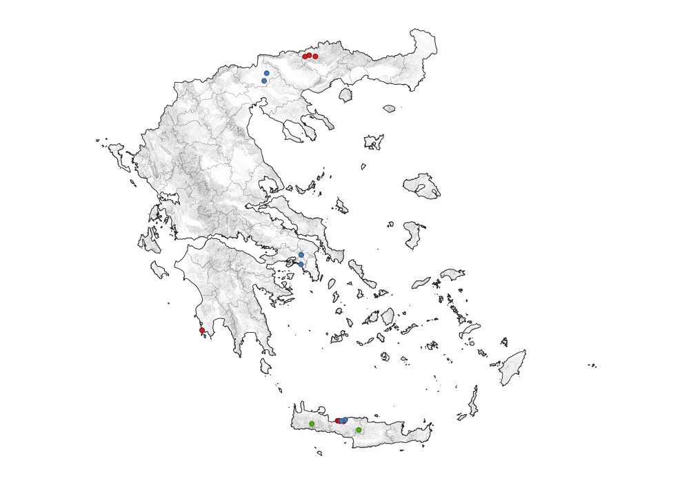
- in blue, the water level measuring devices are distinguished (in Kilkis, Attica, and Rethymno),
- in red, the air quality measuring devices (PM2.5 and PM10 particulates) (in Neurokopi, Methoni, and Rethymno),
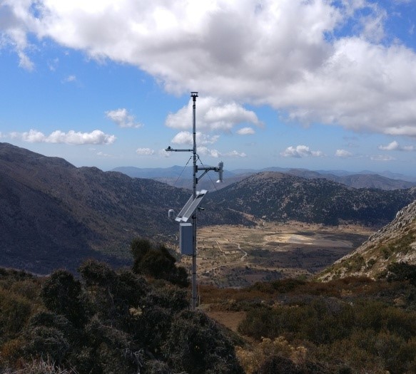
- in green, the snow depth measuring devices, additionally featuring a thermo-hygrometer, a carbon dioxide (CO2) measurement sensor, and solar radiation (direct and reflected) (in Lefka Ori -Kallergis Refuge, Chania- and Psiloritis -Nida Anogeion, Rethymno).
- Additionally, some devices feature supplementary sensors (e.g., NO2, CO, precipitation, surface temperature), depending on the needs of the area or the specific research program.