


Fire Forecasting and Analysis
Fire behavior analysis and forecasting for improving operational readiness
Service Description and Applications:
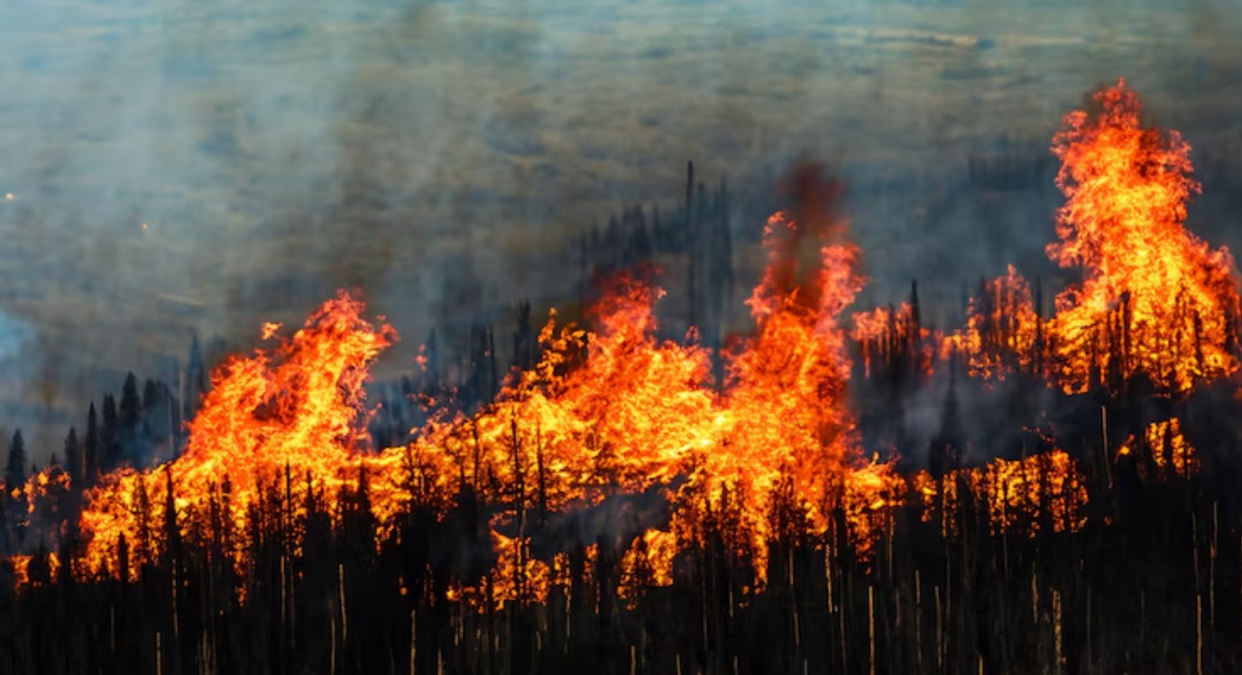
The service includes, upon request, the provision of specialized forecasts and analyses of fire spread and behavior. The analyses are based on advanced fire simulation models and satellite data, taking into account the bidirectional interactions between fires and the atmosphere. Satellite data allows for mapping the actual spread of fires and estimating behavior characteristics, such as the thermal intensity of fronts and the rate of spread. The service can support both preventive planning and the operational management of active incidents.
The service is intended for:
✓ Civil Protection Services and Fire Department ✓ Local Government Organizations and Regional Administrations ✓ Research and academic community specializing in forest fires ✓ Forest Services, Protected Area Management Bodies, and National Parks ✓ Citizens and volunteer groups active in forest fire prevention and protection
Methodologies and Tools Applied:
✓ Numerical models for simulating fire spread and behavior ✓ Satellite data ✓ Data analysis and visualization techniques
Contact:
Theodoros M. Giannaros (thgian@noa.gr, ☏ 210-3490903)
George Papavasileiou (papavasileiou@noa.gr, ☏ 210-3490902)