Climate Change Risk Assessments
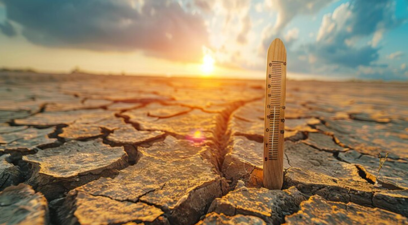
Climate change is already present, and its effects will impact the entire planet across many sectors.
Service Description and Applications:
✓ Climate change impact indicators are produced, specifically adapted for the following sectors:
- Agriculture (e.g., changes in the number of cold nights and the length of the growing season, changes in rainfall periods).
- Energy demand (e.g., changes in energy demand for heating and cooling).
- Health (e.g., changes in discomfort levels due to temperature and humidity).
- Tourism (e.g., changes in tourists’ thermal comfort and the length of the tourist season).
- Forest fires (e.g., changes in fire risk or the duration of the fire season).
✓ Development of monitoring indicators based on qualitative and quantitative data to create an effective mechanism for monitoring, evaluating, and updating climate change adaptation actions and policies at the national level (LIFE-IP AdaptInGR).
✓ Products specifically adapted to the needs of stakeholders and policymakers, such as the user-friendly web-based map platform for climate change impacts, created by the EEA and WWF for the needs of authorities in planning and policymaking for forest fire control.
✓ Development of online tools to support decision-making for climate change adaptation in various sectors, such as agriculture (ADAPT2CLIMA tool) and the urban environment (URBANPROOF toolkit).
The service is intended for:
✓ Municipalities ✓ Organizations involved in climate change adaptation ✓ Consulting firms in the public and private sector ✓ Non-governmental organizations in the field of environment and public health ✓ Academic community
Methodologies and Tools Applied:
Climate models are computational programs that simulate weather systems over time and can estimate the Earth’s average climatic conditions under different scenarios. They simulate natural climate processes and reproduce atmospheric and oceanic conditions under various climate change scenarios. To assess the impacts of climate change at regional and local scales, high spatial resolution climate information is required. For this purpose, depending on the region and sector of interest, statistical downscaling is applied, utilizing high spatial resolution gridded and observational data as reference data.
Contact:
Christos Giannakopoulos (cgiannak@noa.gr, ☏ 210-3490828)