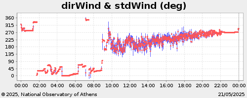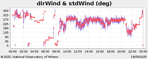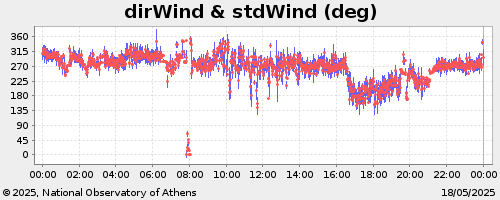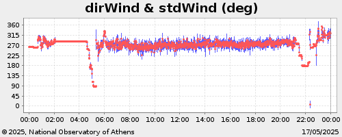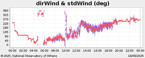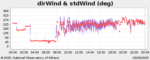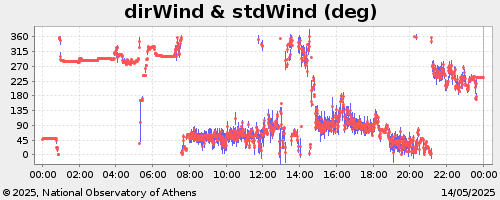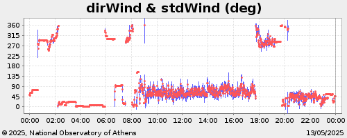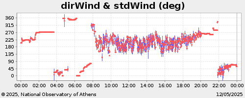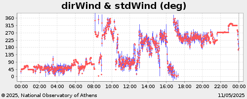
The data presented are collected on-line from the Meteorological Station of the Municipality of Peristeri, located at the New Town Hall building.
These data are updated every 30 minutes.
The automatic meteorological station at Peristeri was funded by the LIFE URBANPROOF project (LIFE 15 CCA/CY/00086) and realized in co-operation with Dr. Vassilis Psiloglou, researcher at IERSD-NOA. Special thanks go to Nikos Venetas and Panagiotis Stamatis from Peristeri Municipality, for providing access to the station data in order to develop this website for the presentation of its recordings.
(1) The value of the cumulative precipitation is reset to zero at 08:00 and at 20:00 every day.
(2) The values of irradiance are referred to horizontal plane.
(3) The wind measurements are at 3m above the building roof.
(4) The values of Heat or Discomfort Index are estimated using Air Temperature and Relative Humidity measurements.
(5) The values of Wind Chill are estimated using Air Temperature and Wind Speed measurements.
Position of Peristeri Station
Latitude:
38° 0.773' N.
Longitude: 23° 41.699' E.
Height above sea level: 65m
Starting Day: February 2020
 Senior Researcher
bill@noa.gr
+30 210 8109133
CV
Keep up-to-date with the latest news and updates by subscribing to NOA newsletter!